Deseret Peak
Escape the Summer Heat up Deseret Peak
In mid-July, a few of us headed west from Salt Lake City to the Stansbury Mountains and the highest peak in the range, Deseret Peak. Not visible from most of urban Salt Lake City, this range is one of the last alpine environments heading west for over 150 miles across the [Great Salt Lake] Great Basin. On a clear day, one could expect to see into Nevada, although much of that direction was obscured by haze from California wildfires.
Deseret Peak is the fourth highest prominence in Utah, clearing almost 6000 feet above the surrounding flatlands. We would drive up 2000 feet, and hike another 4000 or so of elevation gain in a five hour round trip, logging about 7.8 miles.
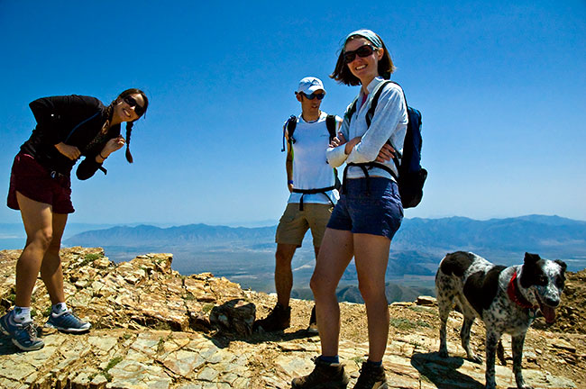
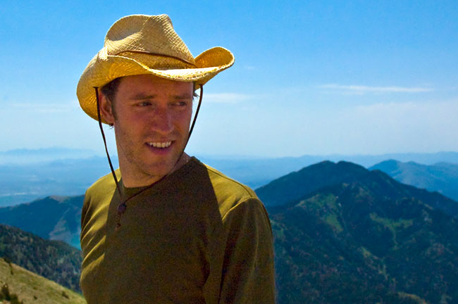
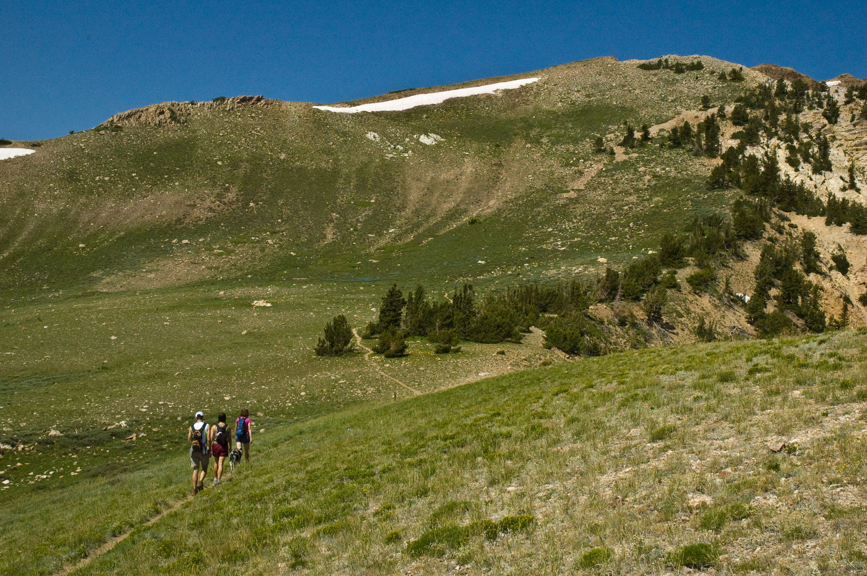
Here are some additional photos from the hike:
On the saddle below Deseret Peak, with another 1000+ feet in elevation to go. Looking NNE down the Stansbury range towards the Great Salt Lake and some salt fields (white stripe, center right) in the distance.
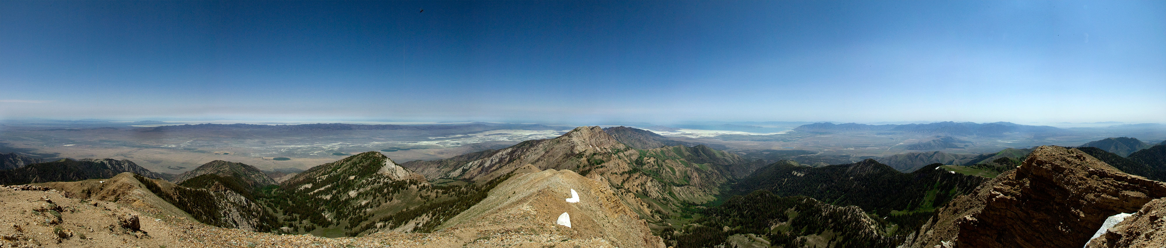
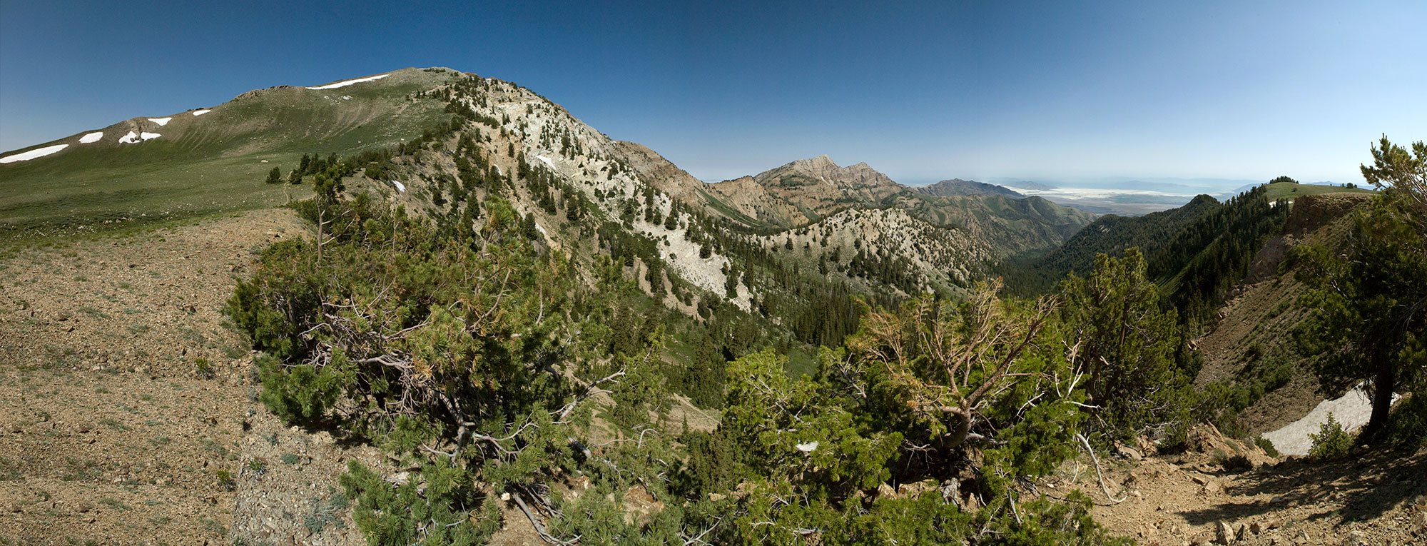
On the summit of Deseret Peak. Looking north, with the Salt Flats (proper) to the left, Stansbury Range and Pocketts Fork in the center, and the western-most edge of the Wasatch to the right. Detail image below.